[deck]Benefits are already being provided to Canadian potato farmers by satellite data collection and analysis. What’s to come?[/deck]
Technology in all areas of farming continues to evolve, and satellite data collection and analysis is no exception.
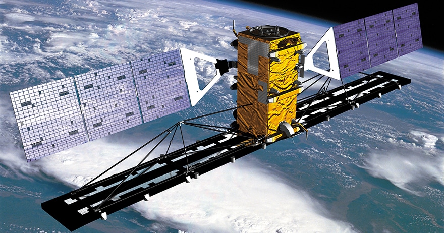
It’s becoming less expensive every year to collect data on crops, weather and more from space, and the information gathered is also getting much more detailed and reliable. Satellite data are useful to the agriculture community not only in terms of understanding long-term trends, but in gaining faster and better insight into crop-soil health and employing more effective farming practices.
“We’ve seen significant advancements in satellite technology over the past 20 years,” notes Dr. Andrew Davidson, manager of Earth Observation (EO) Operations at Agriculture and Agri-Food Canada (AAFC). “We’ve moved from placing sensors onboard a single satellite to using a series of satellites to collect data seamlessly, more frequently and with more detail than ever before. As more and more EO data streams come on line, the power of the EO data that AAFC acquires increases along with its integration with other geospatial data, allowing scientists to provide value-added information that is of use to the federal and provincial governments, the private sector, academia and the wider national agricultural sector.”
Davidson adds it’s also critical that Canada and other countries share data effectively for the purposes of global food security. “The challenge moving forward is how we handle the massive volume of satellite data available to continue to serve the farming community.”
Let’s first look at what farming-related information satellite sensors already collect. One type of information is measurements of various portions of the electromagnetic spectrum, which allows for not only distinguishing vegetation from water, bare soil, snow and so on, but to some extent, for determining the condition of the vegetation.
“Integrating data from visible-to-infrared and microwave wavelengths provides valuable information about vegetation,” Davidson notes. “A good example of this type of application is the Statistics Canada Crop Condition Assessment Tool (CCAP) that allows the public to track growing conditions through their internet connection. We also currently map Canadian agriculture nationally throughout the growing season using a vegetation index called the NDVI, which allow identification of deviations in productivity from normal conditions.”
Vegetation aside, detailed satellite data mapping at the local and national scale also allows researchers to see long-term climate trends, drought trends and so on, with the ability to create consistent and reliable historical records of anomalies. Davidson says he and his colleagues also create weekly national maps of surface soil moisture that allow them to identify dry and wet areas on the agricultural landscape, and again, how these conditions differ from normal. This information is integrated with other geospatial data (such as Environment and Climate Change Canada climate station information, and reports from the ground) to build up a picture of emerging problems in Canada’s agricultural regions, such as drought or excessive moisture.
Indeed, being able to map snow or soil moisture on an ongoing basis allows better prediction and understanding of moisture-related farming issues. In potato farming, this can lead to things like the development of better rotation strategies, or assistance in helping farmers see where crop and soil productivity could likely be improved through actions such as boosting soil organic matter and preventing erosion in one way or another.
What’s to Come
As the volume and quality of satellite data increases, Davidson says various models, such as the Canadian Crop Yield Forecasting Model (used to produce in-season crop production estimates), will improve.
“For example, tracking growing curves of crops through the growing season allows us to get a better understanding of how crop growth cycles are affected by climate variability, both within season and from season to season,” he explains. “We can also use this information in our models to constrain important parameters, such as the start of the growing season, emergence, peak of growing season and so on. Reducing model uncertainty in terms of the input data and information is key to generating more accurate model outputs, which are obviously more useful to the sector.”
While large and costly satellites for certain applications will continue to be required, over the past 10 years, hundreds of miniature satellites (the size of a large shoebox) have been launched. Davidson says further evolution of this type of technology will soon allow well-calibrated fine-detail observations that can be used to monitor agricultural resources in near real time.
Another development, presently in the development stage, is work by Earth Observation Operations that’s allowing AAFC to map agri-environmental indicators with much more spatial detail, and to provide more spatially-explicit information reports. Davidson says the data is being used internally right now, but some of it will be available to others in the sector at a later date.
It is hard for anyone to say how much life for a typical Canadian potato farmer will change as satellite technology develops in the coming years or decades, but Davidson believes that as sensor tech continues to develop, users of data will likely always be trying to catch up.
“Up until recently, I always said that the limitation to us for agricultural monitoring was not enough data. But now the challenge is hardware and software, and rethinking the way we use and analyze all the data that’s now available,” he says. “We do know that more and better satellite-based information should lead to better-informed decision making for farmers of potatoes and other crops, as well as improved precision ag applications.”